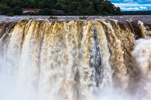
This is where my South America tour started. Iguazu Falls are water falls of the Iguazu River on the border of Argentina and Brazil. The Brazilian side consists of just 20% while the Argentinian has 80% of the total falls.
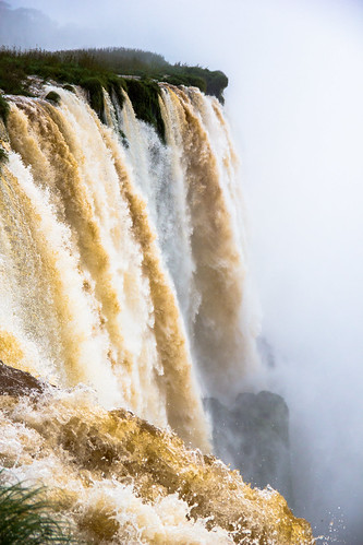
All these photos were taken from the Argentinian side.
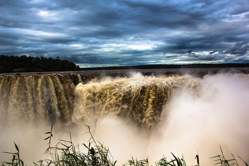
Standing at the observation point nearby Devil's Throat.
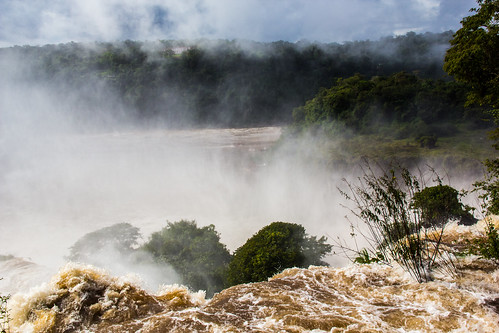
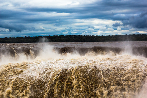
Nature as a source of power.

Everyone needs to see Iguazu Falls at least once in their lifetime
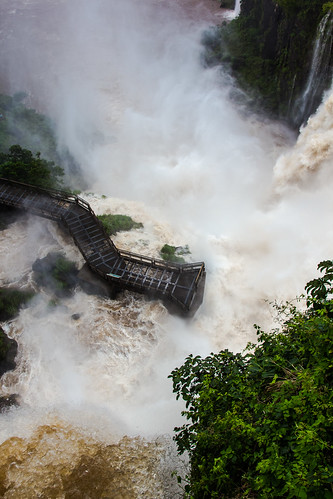
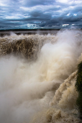
A steele walkway gives tourist the opportunity to get up close to the falls. There are a multitude of viewpoints to see Iguazu and excellent coverage throughout the park.
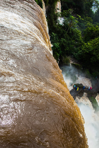
275 total drops, 60-82 meters high. Total width of 2.7 kilometers or 1.7 miles.
275 total drops, 60-82 meters high. Total width of 2.7 kilometers or 1.7 miles.

It take about half a day to see the Falls.
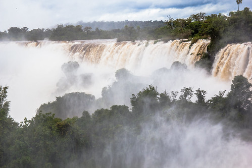
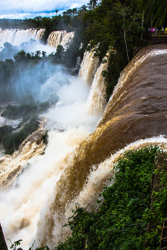
The rising mist, lush fauna, and the falls make up this famous natural water park.
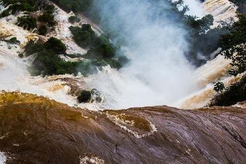
Devil's Throat is the the pivotal section of the falls in the shape of a J.

In opinion, the sound of the Falls is what resonates the most. After you see the falls, it is the sound that sound that reminds me of its sheer force.
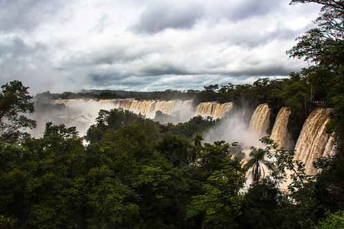
There really isn't a bad view of Iguazu Falls.